
The ancient via Domitia was the first Roman road outside Italy and linked Rome with Spain. Today a path that follows close to the ancient road provides the vital link between the St James Way network and the via Francigena allowing pilgrims to walk between Santiago de Compostela and Rome.
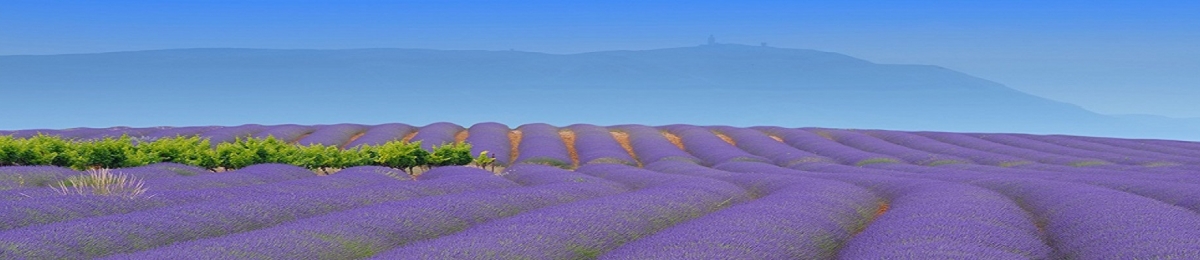
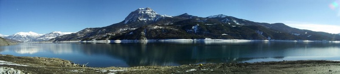
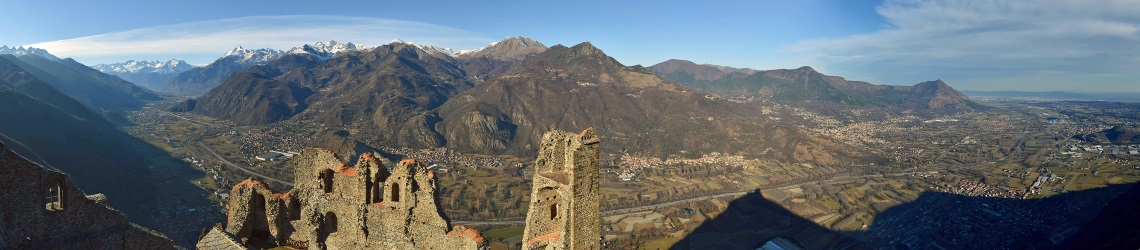
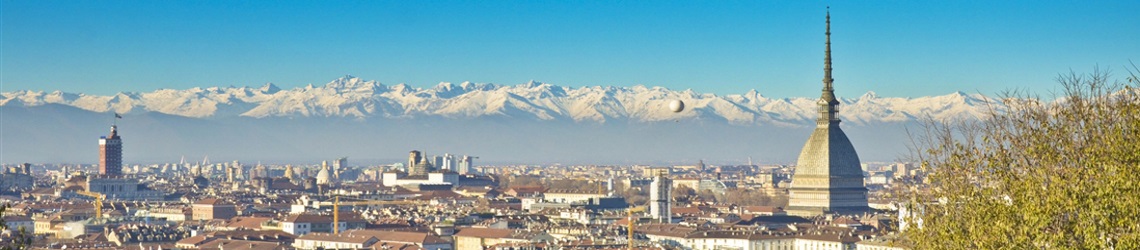
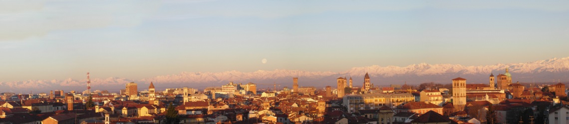
The route links Arles in Provence, France with Vercelli in Piedmont, Italy and passes through the Luberon and the Hautes Alpes in France before entering Italy via the pass at Montgenèvre (1850m) and descending along the Susa valley to Turin and the Po plain.
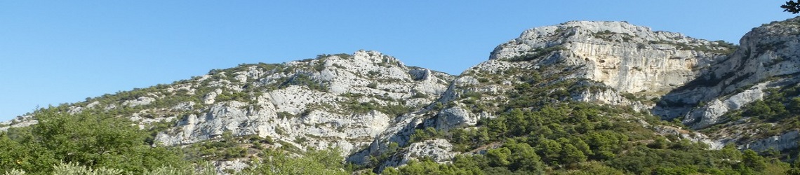
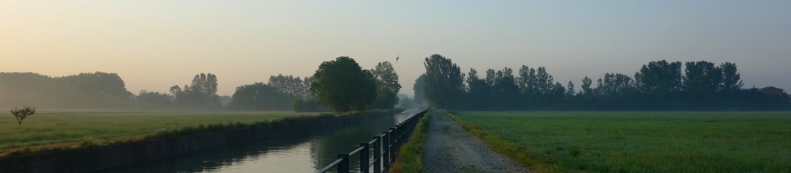
The route in France is strenuous with numerous climbs to over 1000m but also dramatically beautiful and steeped in history. Accommodation is available in religious sanctuaries and hostels used by alpinists as well as a range of tourist hotels and bed and breakfasts.
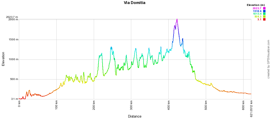
Total distance of the route: 621km
Maximum Altitude: 2024m
Typical hiking duration: 28-35 days for the entire route
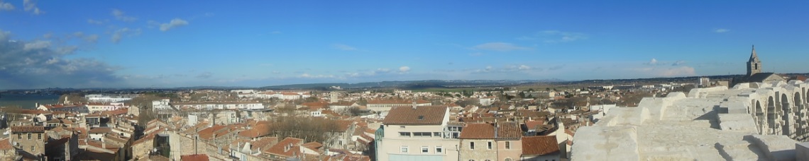
The via Domitia crossed the Alps via the Col de Montgenèvre (1850m) and followed the valley of the Durance to the crossroads with the via Agrippa (Arles-Lyon) and the coastal via Aurelia at Ernaginum (Saint Gabriel) at the western edge of the Alpilles.
Every 30 kilometres along the route were lodgings known as mansiones and every 15 km there were relay points, mutatios, to change teams of horses. Travellers could judge progress by 1 to 3 meters high milestones placed on the left side of the road with new stones added bearing the names of successive emperors.
The road has been long associated with pilgrimage. In fact, the earliest itinerary left by a Christian traveler to the Holy Land, the Itinerarium Burdigalense written in 333 AD follows a route from Bourdeaux via Toulouse to Arles and after a diversion to the north along the Rhone valley rejoins the via Domitia at Gap and follows the route to Turin and the via Francigena in Pavia.
In the middle ages the route was used by pilgrims travelling between Santiago de Compostela and Rome. By legend, in 1214 Saint Francis of Assisi followed the route along the Susa valley when making his way to Santiago de Compostela. The inland routes were generally preffered to the via Aurelia because of the prevalence of pirate attack.
Today the via Domitia between Arles and Montgenévre is largely subsumed by a series of major roads, with only a few small sections preserved and still visible. Its major legacy is in the buildings and bridges left behind – cathedrals in Embrun, Gap, Sisteron, Forcalquier, Apt, Cavaillon and Arles, monastries or convents in Boscodon, Ganagobie, Salagon, Montmajour, Roman bridges such as Pont Julien, where the via Domitia crosses the Calavon river in Bonnieux.
This 1988 paper by Paul von Caucci Saucken provides more information on the relationship between the via Francigena and routes to Santiago 
 *
*
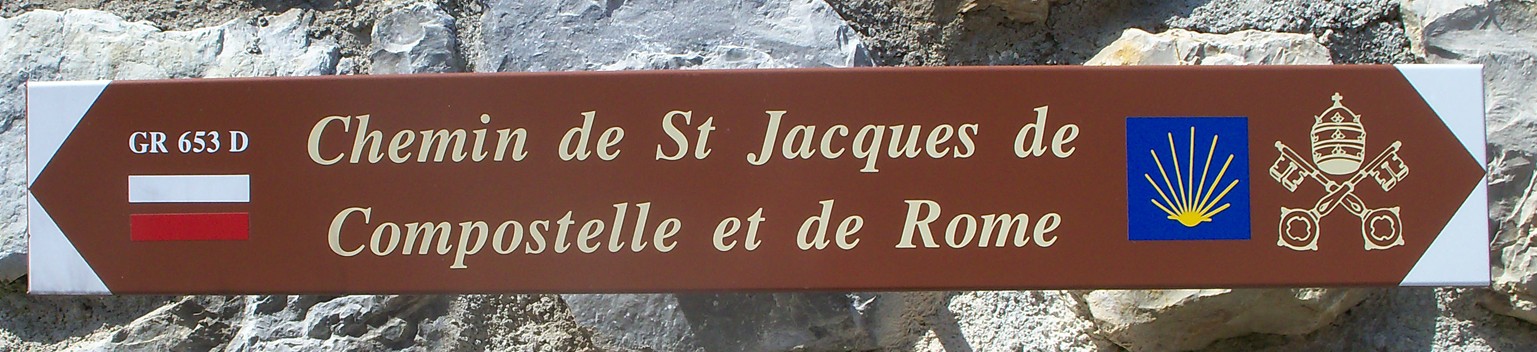
The redevelopment of the St James Way in the 1980’s included the via Tolosana between Arles and Puente la Reina and latterly a branch of the via Francigena between Montgenèvre and Vercelli has been mapped and signposted.
In 2007 “Les Amis de Saint-Jacques-de-Compostelle” and the French hikers association (FFRP) mapped and signposted the GR653D recompleting the linkage between Santiago de Compostela and Rome.
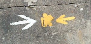
In the Italian section a number of community groups have installed and maintained the now traditional via Francigena signs with a yellow arrow pointing to Santiago de Compostela and a white arrow to Rome. The groups now also offer pilgrim accommodation .
Lightfoot Guide to Foraging – Wild Foods by the Wayside
“Nowadays if I look at a meadow I think lunch.” A guide to over 130 of the most common edible and medicinal plants in Western Europe, aimed at the long-distance or casual hiker along the main pilgrim routes through Western Europe. The author has had some 40 years of experience in foraging and though a Dutchman by birth, has been at home all over Europe including Germany, Ireland, England and for the last 8 years in Italy along the Via Francigena pilgrim route, where he feeds his family as a subsistence farmer, cultivating a small piece of Ligurian hillside along permaculture principles, and by gathering food from the wild.
Written by Heiko Vermeulen – first published in February 2012.
Full colour; 144 pages;216 x 140 mm;176gm