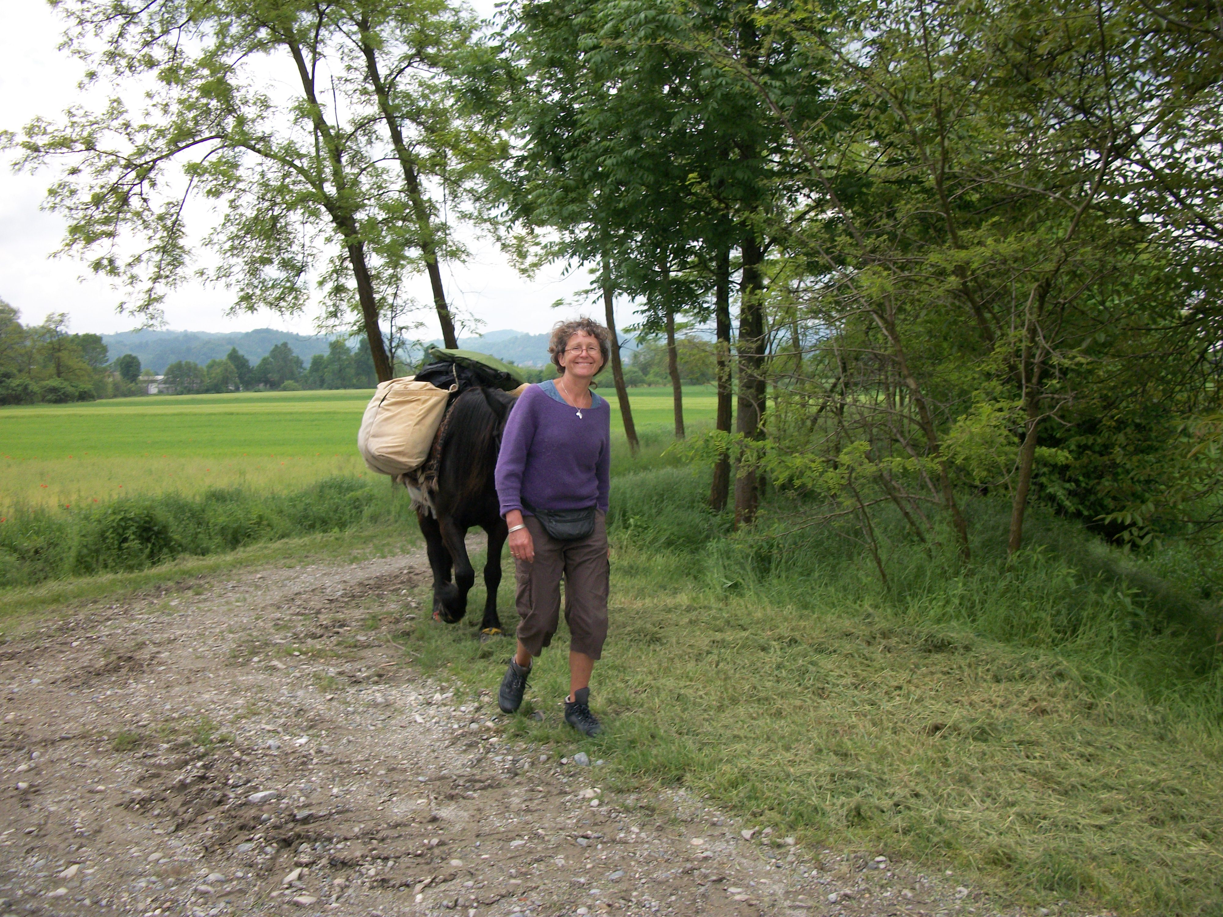
Is it safe to cross the col Grand Saint Bernard?

In good summer weather conditions the path over the summit is long but progressive and should not offer a great challenge to hikers in good physical shape. The greatest risk to walkers arises from the weather. Click  for a 30 … Read More

Can I use the data on another type of GPS?

The Garmin gpx format is the de facto standard for mapping systems, gps units and Smartphone gps apps. However if your unit does not support this format then the data can be converted using GPS Babel.

What is the format of the GPS data?

The data comprises all of the numbered waypoints that correspond to the instructions in the book. The files are in Garmin gpx format. If you need the data in another format then GPSBabel is a widely used tool.

Mieke Shrieks

I am a walking guide on several camino’s in Spain and in France.  I guide people who do not want to go alone. During the season March up to November you will often find me around Santiago de Compostela. In the … Read More

Typos

1) Contents Page – Stage 17: Length should be 33.5km not 33.3km 2) Contents Page – Stage 38: Length should be 33.5km not 35km 3) Copyright Page: Length should be 909 kilometres (to match length on Page 9 and sum … Read More

Sylvia Nilsen

Sylvia Nilsen, well known in the Camino world for her ‘amaWalker blog’ and as ‘Sillydoll’ on the Camino forums, is a South African freelance writer who has been published in numerous local and international publications. She worked as a research … Read More

Babette Gallard and Paul Chinn

We are just a couple of ordinary people who were lucky enough to make an early escape from the world of business initially to an adopted home in France with our passions and energies still intact, but these days our … Read More

1 12 13 14 15 16